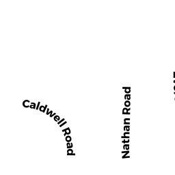
52 NATHAN RD
Owner Information
ROGERS, DARLENE
52 NATHAN RD #1
WALTHAM, MA 02453

Property Details
52 NATHAN RD is classified as a Apartments with Four to Eight Units (Multi 4-8).
The primary structure on this property was built in 1940. There are 3,000ft2 of built area within this property. There is 3,000ft2 of residential/living space within this property. This property is listed as having 16 rooms. There are 4 units within this property.
52 NATHAN RD is valued at $1,084,600. The land is valued at $320,000 and the structures are valued at $764,600.
The most recent deed for 52 NATHAN RD is recorded at the local registrar in Book 39726, Page 244-24. 52 NATHAN RD was last sold on Monday, June 30, 2003 for $100.
Assessment data from fiscal year 2022.
Flood Data
According to the FEMA National Flood Hazard Layer, this property does not appear to be in a flood zone. It may also be in an area not yet reviewed. Nonetheless, confirm this information prior to taking any action.
To view the flood hazards around this property, create a FEMA "Firmette" Map of the area around 52 NATHAN RD.
Broadband Internet Providers
| Provider | Type | Bandwidth (mbps) | |
|---|---|---|---|
| GCI Communication Corp. | Satellite | 0 | 0 |
| RCN | Cable | 1000 | 20 |
| RCN | Cable | 500 | 20 |
| Comcast | Cable | 1000 | 35 |
| VSAT Systems, LLC. | Satellite | 2 | 1 |
| HughesNet | Satellite | 25 | 3 |
| Verizon New England Inc. | Fiber | 940 | 880 |
| Verizon New England Inc. | DSL | 10 | 1 |
| Viasat Inc | Satellite | 100 | 3 |
| Crown Castle Fiber | Fiber | 0 | 0 |
Broadband service provider data from December 2020.
Adjacent Properties
- 38 -1 NATHAN RD
Residential Condominium owned by BAIRD, CATHLEEN V. - 38 -2 NATHAN RD
Residential Condominium owned by GRUNWALD, ERIC C. - 38 -3 NATHAN RD
Residential Condominium owned by CRAMER, KIMBERLY S. - 38 -4 NATHAN RD
Residential Condominium owned by TANG, YIPING & LEI YIN - 56 -58 NATHAN RD
Apartments with Four to Eight Units owned by GRASSIA, MARK & ELENA - 30 -32 EVERETT ST
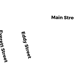
Two-Family Residential owned by WARREN, PAUL A. & JENNIFER L. - 30 -32 NATHAN RD
Two-Family Residential owned by INCH THIRTY ONE, LLC.